Tracking critical assets
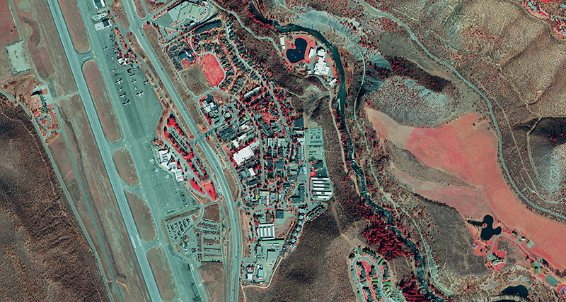
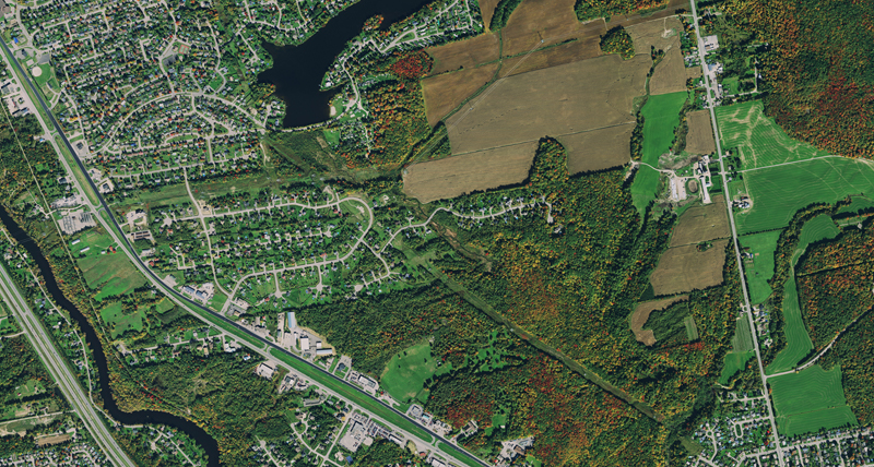
Keep track of assets down to individual buildings, roads, vegetation, utility, infrastructure and light posts with 15 cm resolution urban coverage and guaranteed no cloud coverage. Streaming the imagery will support your GIS programme with the highest quality base map.