Capture Technology

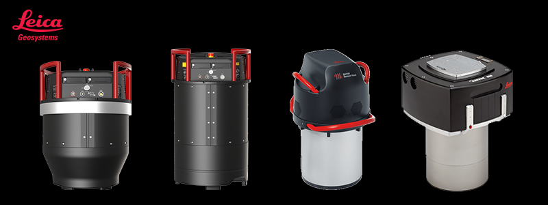
Technology matters: Discover the Leica Geosystems technology used by our content partners

HxGN_Content_Program_City_Mapper_2480x750

High-quality multispectral imagery can only be achieved by leveraging the industry's best sensor technologies, which is why our experienced content partners use only the latest airborne cameras developed by Leica Geosystems. These systems produce the highest range of spectral information possible in all sensor-recorded data and full multispectral colour swath width of up to 25,000 pixels in RGBN allowing the highest data acquisition efficiency. 

Leica ContentMapper

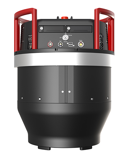
The Leica ContentMapper is the innovative and highly efficient airborne imaging sensor for large-scale geospatial mapping projects. With 40,000 pixels across swath, this latest generation camera provides maximum performance when capturing high-resolution imagery and double the image resolutions at the same flying parameters compared to previous systems. The sensor is purpose-built to maximise imaging performance and features all of Leica Geosystems’ latest technology configured for large-scale to country-sized imagery projects.

Leica CityMapper-2

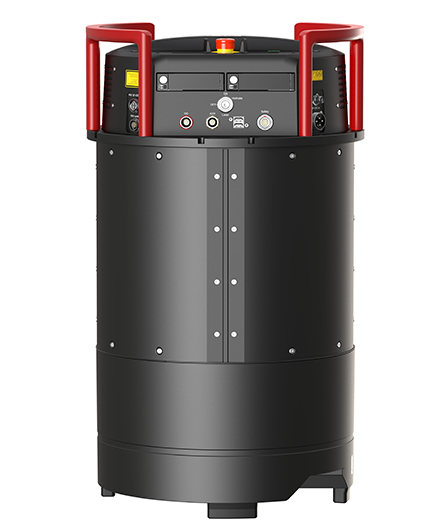
The Leica CityMapper-2 is specifically designed for airborne urban mapping and offers twice the data collection performance to addresses the urgent need for 3D data. The world’s only hybrid oblique imaging and LiDAR airborne sensors, captures two nadir (RGB/NIR) and four oblique 150 MP images every 0.9 seconds providing the highest resolution to visualise every corner of the city. With a new generation 2 MHz pulse rate LiDAR, this sensor breaks all conventional barriers of urban mapping.

Leica ADS

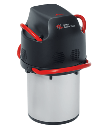
The Leica ADS100 digital camera uses pushbroom technology. It captures full multispectral colour (RGBN) in the forward, nadir and backward views offering greater flexibility for stereo interpretation. With a swath width of 20,000 pixels, this airborne sensor delivers the highest data acquisition efficiency.

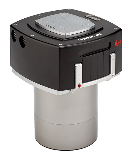
Leica DMC III

The Leica DMC III mapping solution uses CMOS technology specifically engineered for airborne applications to provide the world’s largest swath generated by a single frame. Capturing 25,000+ pixels across the Leica DMC III produces image quality with minimal noise and almost zero blooming.

Free 10-day streaming trial

Stream our highly-accurate aerial imagery into your application via WMS/WMTS for 10 days.

Join our newsletter

Sign up to receive email updates on new product releases, latest news, blog posts and more!

Speak to a team member

Contact us for more information, questions, or technical support.