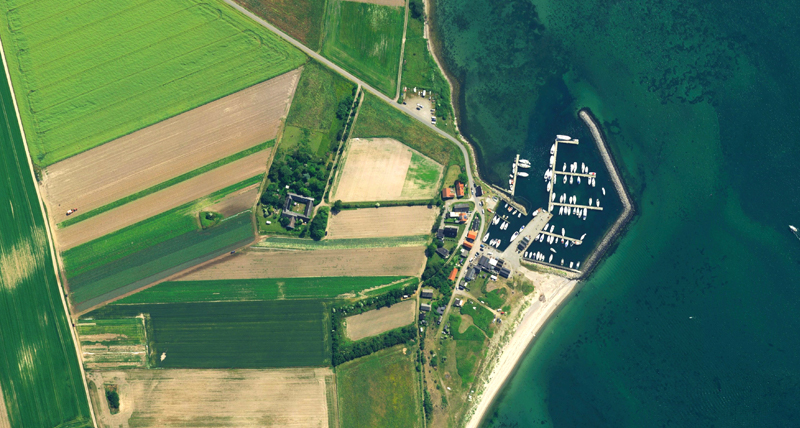
Streaming Service
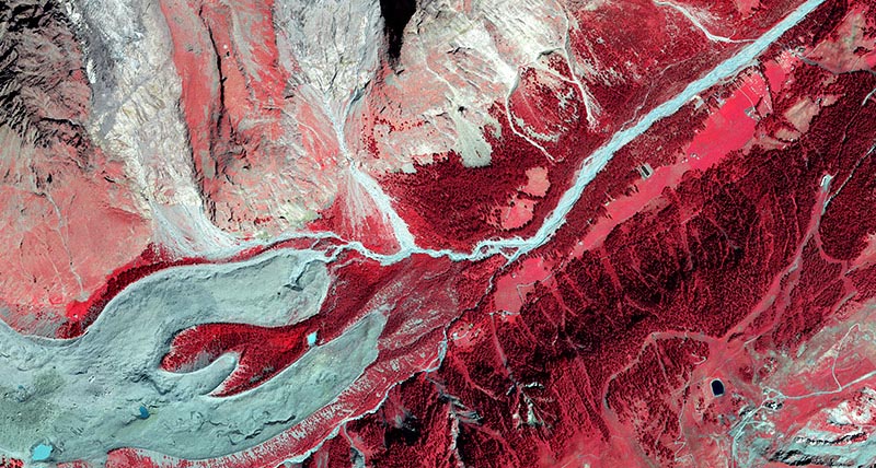
The imagery service supports access through ArcGIS and OGC WMS/WMTS protocols directly into your application of choice, including Esri, MapInfo, and Global Mapper. Subscription fees include unlimited viewing and plotting. Subscribe for a free trial account now.