Consistency at every stage
We own the entire workflow, from developing and manufacturing the imaging sensor to the data acquisition and production processes, ensuring consistency throughout.
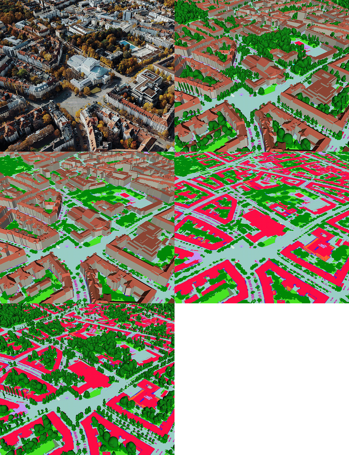
Analyse, model and visualise your urban landscape with high-definition digital twins of global cities.


We own the entire workflow, from developing and manufacturing the imaging sensor to the data acquisition and production processes, ensuring consistency throughout.

Each data set is built using the highest quality aerial imagery and LiDAR data by our team of mapping specialists, allowing you to make confident, data-driven decisions.

Access data on demand and leverage flexible data use terms that enable you to create derived products.
Metro HD offers 10 different data sets derived from 5 cm resolution aerial imagery and 20 points/m² density LiDAR data.
Each city's aerial imagery and elevation data are captured simultaneously using the best-in-class hybrid mapping sensor, resulting in superior accuracy and temporal consistency across all dimensions to satisfy even the most demanding applications.
Gather meaningful insights using our high-quality data sets as the foundation of your project. Metro HD is a reliable source for risk simulation, project visualization, feature extraction, and to gain insights for better decision-making.