As the pressure on utilities rises to support the world's 75 million per year population growth, resource providers need to maintain the current generation and distribution capacity and expand on new ones.
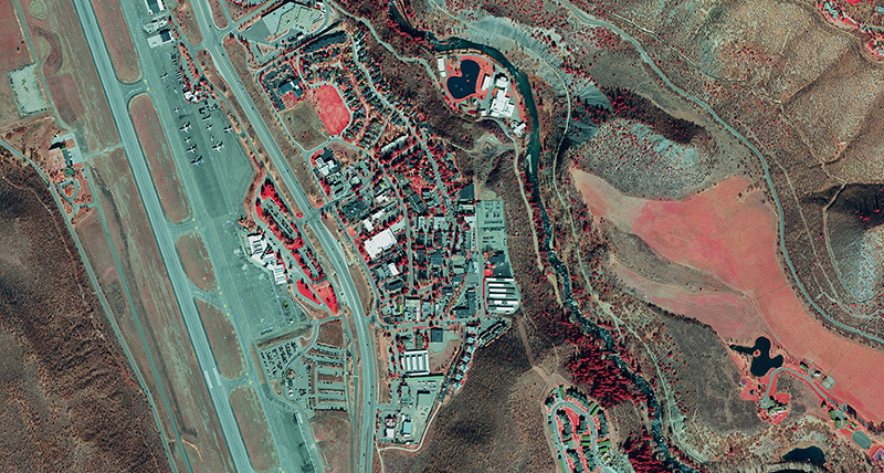
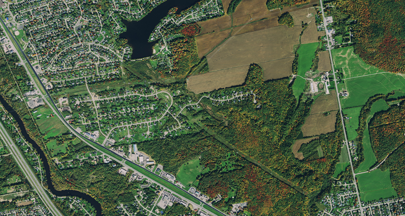
Using base maps of survey grade accuracy aerial imagery helps to stay current with the demand by allowing professionals to map assets, plan access routes, detect environmental changes and distribute resources. HxGN Content Program imagery provides an accurate perspective to manage critical infrastructure assets and resources and keep outages at a minimum.