Streaming service


Stream imagery using protocols like OGC WMS and WMTS directly into your application of choice, including Esri, MapInfo, Global Mapper and all proprietary oil and gas applications. Subscription fees include unlimited viewing and plotting. To learn more or receive a quote, contact our authorised resellers.

Data download


The spatial data store allows you to find and order imagery as and when you need it. Define the search method, projection, coordinate system, resolution and output file format. Within minutes your exact specified imagery can be downloaded. You can purchase imagery by credit card or apply for a business account.

Why ortho photo?


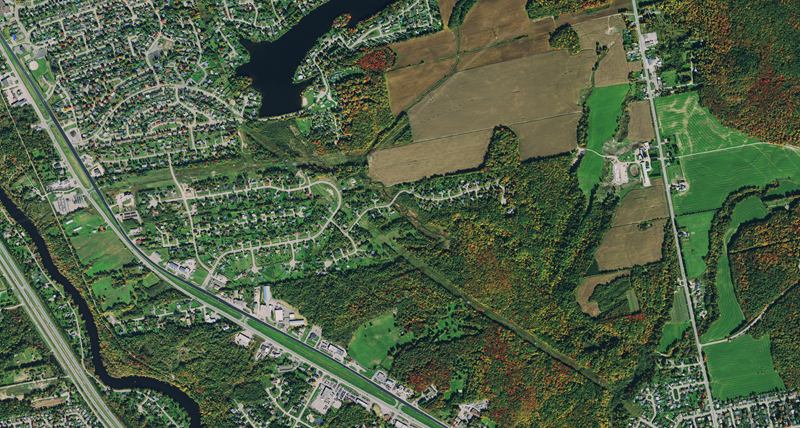
Unlike uncorrected aerial photos, orthophotos can be used to measure true distance. The imagery has been adjusted for topographic relief, lens distortion, and camera tilt and is therefore an accurate representation of the Earth's surface.

Are you covered?


The HxGN Content Program imagery is collected according to planned refresh schedules and the coverage areas are growing year on year. Check the live status map for current coverage.


Downloads