Data Specifications

Highly accurate, quality controlled data for professionals

Grand_Canyon_2480x750

With the rise of web mapping services, millions of consumers are helped every day to reach their destinations. For most consumers, this is good enough. For professional use, these services fall short of the accuracy needed in professional industry arenas.  HxIP provides current and accurate imagery that meets specifications for multitudes of industries. Available for download or streaming, the HxIP imagery is provided as a service through OGS WMS/WMTS protocols.

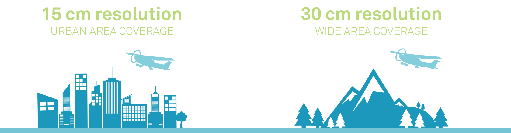
HxGN Content Program - Imagery - Data Specifications Infographic
 

Highest resolution


For professional use, captured content needs to be more than just RGB. HxIP images are captured in 4 bands of colour - classic RGB plus near infrared. The HxGN Content Program provides 15-cm resolution in urban areas and 30-cm resolution in wide areas.
Professional grade


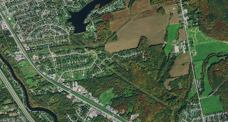
What makes imagery professional? The difference is not only how it is captured and the type of sensors used, post processing plays a huge role. Unlike consumer or satellite imagery, HxIP imagery is processed by a team of experienced photogrammetrists using stringent quality control methods to correct seam lines and colour and perform ortho rectification. 

Current data


You can be confident in the quality of your data knowing the HxIP imagery is acquired on a regular schedule to keep content fresh and up to date.

Seamless imagery


Collected by renowned acquisition partners with years of experience in large area collection using Leica Geosystems airborne sensors, HxIP imagery is captured without awkward seams. Avoiding a patchwork quilt effect, full states are acquired in one flying season, ensuring reliable and consistent imagery.

$name