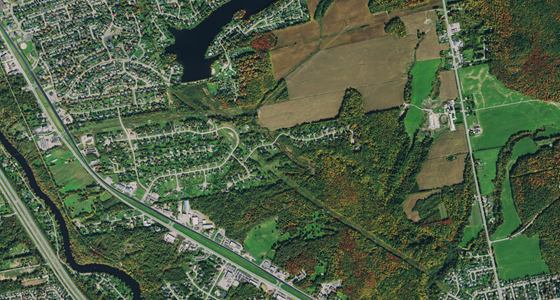
Map flood areas for emergency management, perform change detection surveys for tax purposes, track public assets or manage your cadastre with base maps from the HxGN Content Program. The high resolution ortho imagery is stored with all relevant meta data and processed by experienced photogrammetrists according to international standards.
A well-connected network of resellers are always on hand to support you on state, county or municipal level to ensure the required data is delivered to spec and on time so that you can save on custom acquisition. Aerial imagery is a valuable tool to evaluate ground structures, especially during times of disaster or alteration, to define land and property or to perform change detection surveys. The HxGN Content Program delivers quality controlled and seam line corrected imagery at 15 cm resolution for urban area coverage and 30 cm resolution for wide area coverage.