Nationwide high-resolution aerial imagery
Our extensive library of 4-band imagery is available at multiple resolutions across the United States and Europe.
Transform your geospatial project with high-quality aerial imagery that enables smarter, more informed decisions

Our extensive library of 4-band imagery is available at multiple resolutions across the United States and Europe.

Imagery is captured in the same season using flexible flight plans to ensure artefact-free, consistent coverage.

Our team of geospatial experts use stringent quality control methods to ensure high positional accuracy.
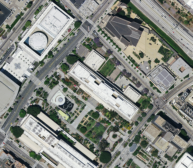
Access high-quality orthophotos across the United States, Europe, and parts of Canada in true colour (RGB) and colour-infrared (CIR).
Our standardised, homogeneous data set is ideal for deriving analytics and extracting features with A.I. and machine learning algorithms.
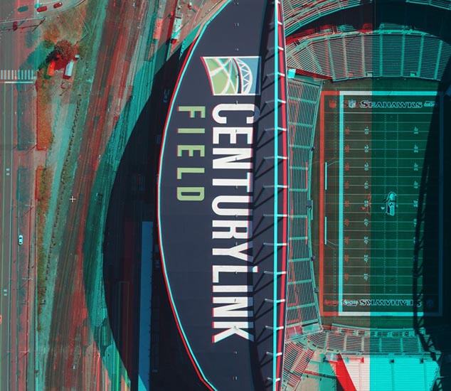
Create detailed 3D visualisations with our highly accurate stereoscopics. The data set is great for feature and topography extraction as well as creating 3D object databases and vector maps.
Stream RGB and CIR orthophotos directly to your GIS or enterprise application on a yearly subscription model. Try it out with our free 10-day trial.