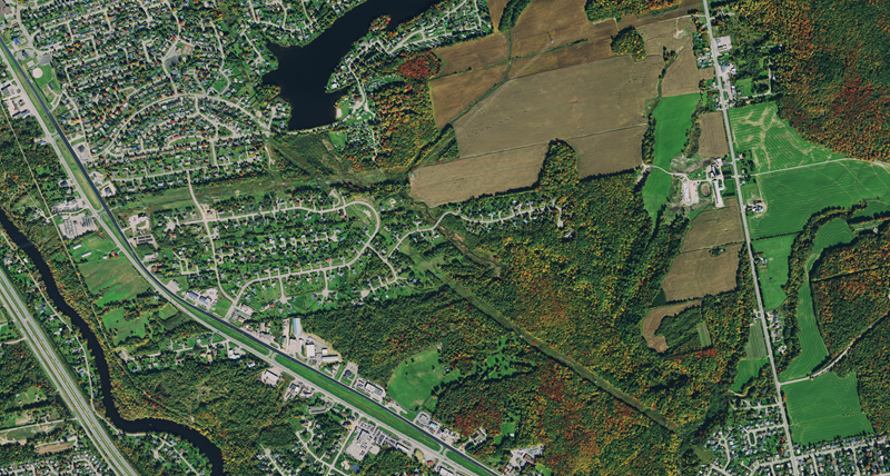
With today’s competitive upstream oil and gas industry coupled with the global energy demand, the drive for oil & gas companies to increase exploration activities is immense. Easy access to current and accurate aerial base maps is vital to keep track of exploration activities.
HxGN Content Program aerial imagery simplifies workflows and adds confidence to the way oil & gas companies conduct site suitability and least cost path analyses, right of way route determinations, and other common operations. The data can help to make critical business decisions through the lifecycle of your project. Choose between streaming service or downloading via the store into your GIS, mapping or proprietary oil and gas applications. The ortho rectified aerial imagery undergoes rigorous quality control by experienced photogrammetry experts to meet the strict regulations that this industry face.