Insurance

Trusted quality-controlled imagery with meta data for change detection and damage assessment

Madeira_Beach_Florida_2480x750

High-resolution aerial imagery is transforming the way insurance agencies prepare and respond in the event of a disaster, assess property changes and analyse risks.

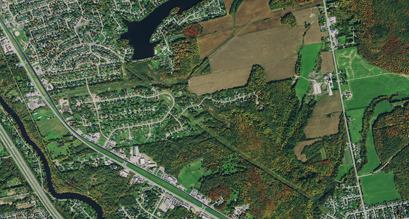
HxGN Content Program aerial imagery has been quality controlled by experienced photogrammetrists, is stored with valuable meta data and has a 15-cm ground resolution in urban centres, which allows assessors to analyse risks, assess damages and take stock of insured assets to shorten claim time and increased customer satisfaction while keeping costs down with less trips to the field.


Detecting change in assets


Captured on a regular schedule, HxGN Content Program imagery will assist you in detecting change of assets, such as buildings, structures properties and infrastructure. Easily streamed or download the data as a base map as a cost-effective alternative to custom acquisition.
Assessing damage


Efficiency and safety matter when assessing damage after a disaster. Assessment can occur quickly using imagery of 15 cm resolution in urban areas and 30 cm resolution in wide areas, when comparing the before and after whilst saving trips to the affected and potentially dangerous area.

Analysing risk


Modelling floods, assessing structural integrity or mapping property changes require a thorough understanding of the environment. Highest quality aerial data, quality controlled by experienced photogrammetrists and refreshed on a planned schedule, will support insurance professionals.

Identifying fraud


Mitigating fraudulent claims or tax evasion with clear, cloud-free imagery that is regularly updated, enabling determination of the true reality of the situation. Delivered with meta data documentation of how and when the data was collected and processed.