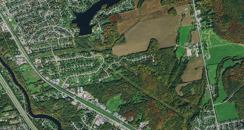
The condition of our precious forestry resources is constantly changing; fire, flood, over harvesting can affect supply. To promote more sustainable operations, imagery from the HxGN Content Program can be used to better understand the state of any forest. The ortho rectified RGB and CIR aerial imagery with detailed meta documentation of how and when data was collected and processed assists forestry officials to make more informed decisions about managing this natural resource.
Mapping forest inventory
Four-band RGB and CIR imagery supports forestry professional in mapping their forestry inventory, lumber volume calculations, vegetation classification and tree health assessment quicker and easier.
Calculating lumber volumes
With an ever-increasing demand, more sustainable forests are required to keep up with supply. High-quality aerial imagery facilitates lumber volume calculations by making them more accurate and cost-effective with reduced need for field trips.
Indexing vegetation health
To support all other forest activities, forestry officials must understand the vegetation classification and condition of the forest. Track changes to the vegetation classification and health of any forest with the clear, cloud-free imagery of the HxGN Content Program, collected on a regular refresh schedule.
Forest planning
The RGB and CIR imagery can be used to support a number of key business needs such as forest management planning, wood supply and habitat analysis, and provincial reporting. The data can also assist in developing a supervised water classification, and contribute to information for planning of mining, energy, green energy, and tourism activities.