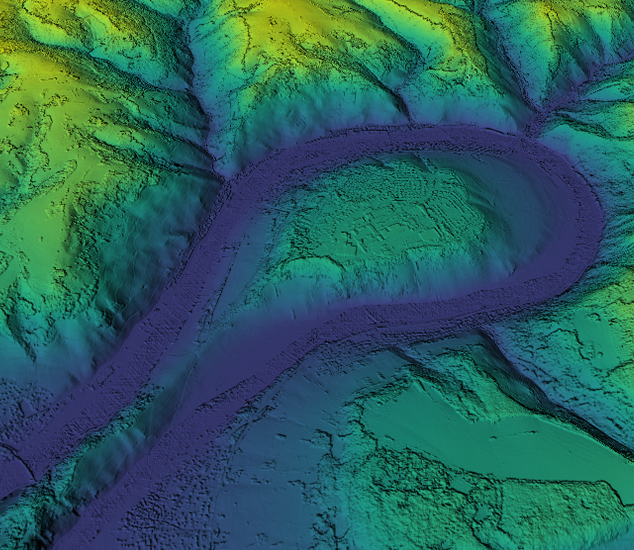
Nationwide elevation data
Digital surface models are available throughout the contiguous United States and Western Europe.
High-accuracy digital surface models (DSM) for 3D surface visualisation and geospatial analysis


Digital surface models are available throughout the contiguous United States and Western Europe.

Our team of geospatial experts use stringent quality control methods to ensure high positional accuracy.

We capture data using the latest sensor technology to produce detailed base layers for your project.
Extract elevation data of land surface and above-ground features in raster or point cloud format at up to 20 cm resolution or point spacing in the United States and 40 cm in Europe.